 |
|
| Mt Dabou is in Noh play beauty Island which appears on Hiroshima bay. 438m is most all right as for the height above sea level of this mountain for the view from the summit of a mountain. | |
|
|
|
 |
|
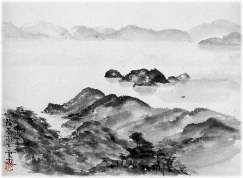
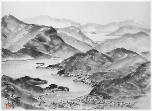
| from Mt, Dabou [1] | |
| The back island of the right is the island of Hiroshima's and Yamaguchi's prefecture border in the distance of this picture in Yamaguchi Prefecture Yanai City. | |
|
|
|
 |
|
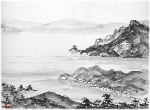
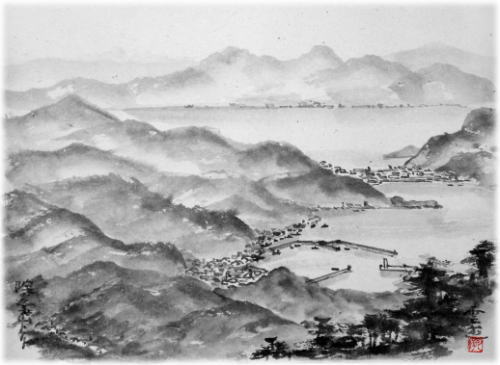
| from Mt, Dabou [2] | |
| The left back of the picture is Kou Island of Hiroshima Prefecture. OokuroKamijima is the uninhabited island of the height above sea level 460m. | |
|
|
|
 |
|
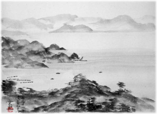
| from Mt, Dabou [3] | |
| The distance of this picture is Ootake City. The back of the right is Itsukushima. | |
|
|
|
 |
|
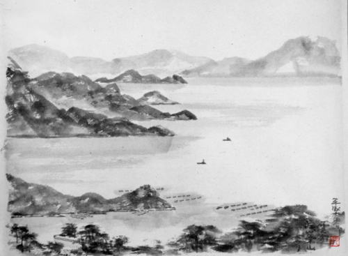
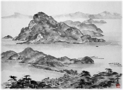
| from Mt, Dabou [4] | |
| The distance of this picture is Itsukushima. A Hukae fishing port is in the front as well. The change of the coastline of these surroundings is big. | |
|
|
|
 |
|
| from Mt, Dabou [5] | |
| The distance of this picture is Hiroshima street. | |
|
|
|
 |
|
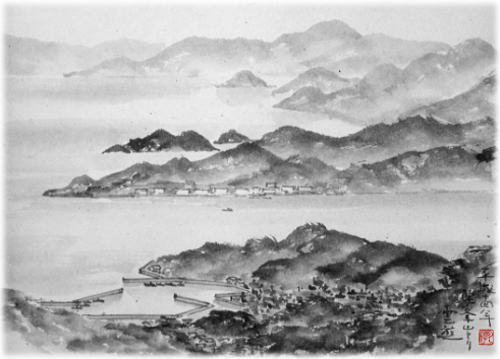
| from Mt, Dabou [6] | |
| A Kakiura port can be seen in the front. Edajima is in the right, and Mt Hurutaka can be seen more in the back. | |
|
|
|
 |
|
|
from Mt, Dabou [7] |
|
| The opposite side of the Kakiura bay is Kure City. A train is running in the front. | |
|
|
|
 |
|
| from Mt, Dabou [8] | |
| This picture drew the best view from Mt Dabou. | |