| Seto
Inland Sea is the legacy of the earth.[9] |
2001-8 |
 |
| Hakata Island is
an area 20 square kilometers. Hakata Island has 7 capes and 7 bays
in the size of 1 lap 53km. And, the geographical features of the coastline
are rough. This island has Mt Hoko of the height above sea level 304m
and Mt HakataFUJI of the height above sea level 249m. |
|
|
Å@
Å@ |
| Hunaoreiwa Lighthouse |
| The lighthouse of red to stand
on the shoal where it is called Hunaoreiwa in Hunaoreseto. This lighthouse
is being called with the "red lighthouse" by the people. Height is
8.5m. |
|
|
Å@
Å@ |
| Hunaore seto |
| The ship which has gone north
with the aim of this lighthouse inside the bay must almost go around
at right angles to the west. |
|
|
Å@
Å@ |
|
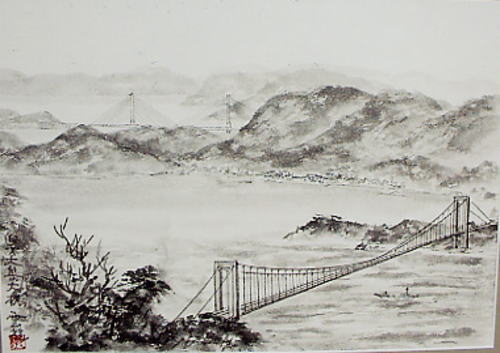
"Hakata big island"big
bridge
|
| "Hakata big island" big bridge
and Tatara big bridge can be seen from Mt Karei (height above sea
level 233m) of Hakata Island. |
|
|
Å@
Å@ |
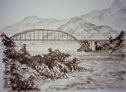
| Ohmishima bridge |
| In the bridge of a variety in
"Shimanami kaidou", the only arch bridge. This bridge is entire length
328m. |
|
|
Å@
Å@ |
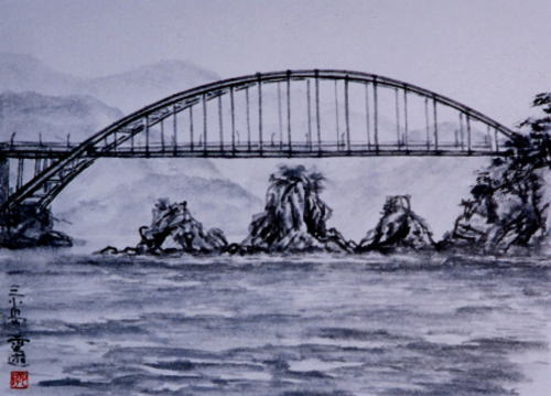
| Mitsukojima |
| Three little islands in the entrance
of Hnaguri seto. |
|
|
Å@
Å@ |
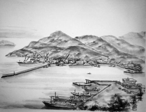
| Kinoura Port |
| This port is called with the
Hakata port as well. This port is the port which becomes a center
even in seven ports in Hakata Island. |
|
|
Å@
Å@ |
| Takaikamijima
is drawn from Kanegasaki. |
| Takaikamijima of surrounding
5km from Kanegasaki in the east of Hakata Island is drawn. |
|
|
Å@
Å@ |
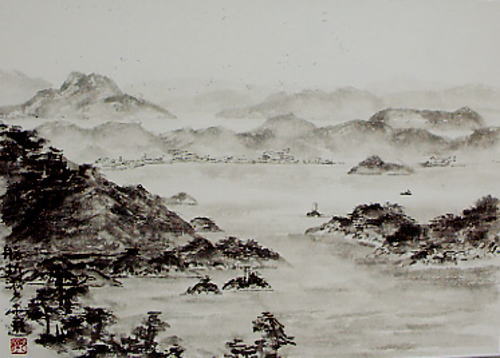
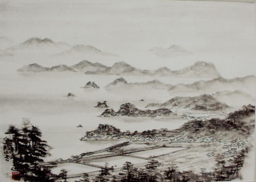
| Hiuchinada is
drawn from Mt,Hoko. |
| Hiuchinada which spread out in
the south of this island in Hakata Island from the highest Mt Hoko
was drawn. |
|
| Hakata
island Web site |