Yuge Island is the
island of surrounding 18km which is almost in the center of Seto Inland
Sea. The island is in the south of Innoshima City of Hiroshima Prefecture.
The highest mountain is height above sea level 325m on the island.
Height above sea level 142m is all right as for the view for Mt Kuji
on the south side of the island. The industry of the island is an
orange and fishing.
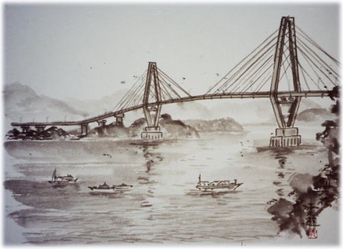
The bridge of the
entire length 980m connected with Sashima next to Yuge Island. It was opened
in 1996.
Å@
Å@
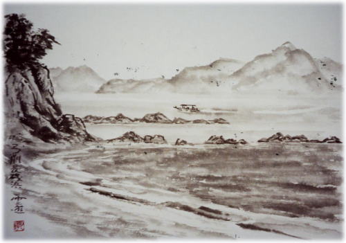
Nagaiso
beach
Seashore at the southern
end of Yuge Island. An other side is Sashima.
Å@
Å@
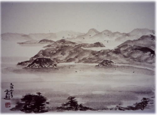
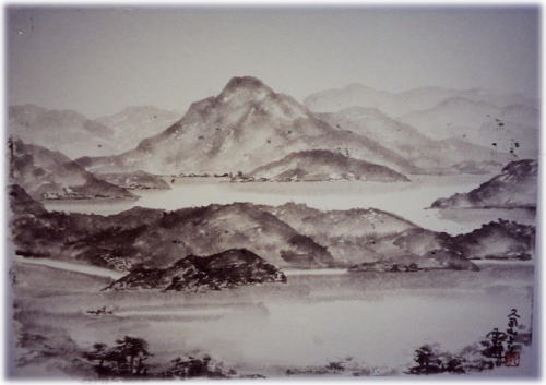
from
Mt.Kuji =1=
Mt Kuji is the highest
mountain on the south side of the island. As for seeing it in the back,
Hakata Island.
Å@
Å@
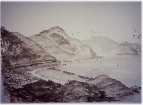
from
Mt.Kuji =2=
Sashima to see in
the front is a slender island to belong to Yuge-cho. As for the highest
mountain, height above sea level is 120m with Sashima in Mt Ohhou. As for
seeing it in the back, Iwashiro Island.
Å@
Å@
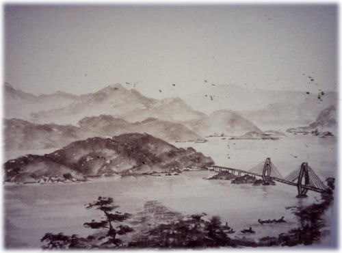
from
Mt.Kuji =3=
Yuge big bridge is
on the north of Sashima from the south of Yuge Island.
Å@
Å@
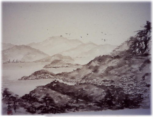
from
Mt.Kuji =4=
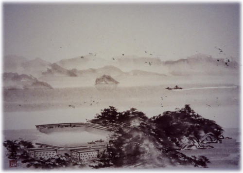
A Yuge port is just
on the north side of Yuge big bridge. A Yuge port is the central port of
the island. As for seeing it in the distance, Innoshima.
Å@
Å@
from
Mt.Kuji =5=
Long Yuge Island
is the smallest place, and there is only width 300m in the north and south.
A big inlet is on the east side of the island, and there is a white sandy
beach which reaches length 1km.
Å@
Å@
from
Mt.Kuji =6=
Matsugahana in the
southeast of the island can be seen.Hyakkan Island can be seen further in
that back.